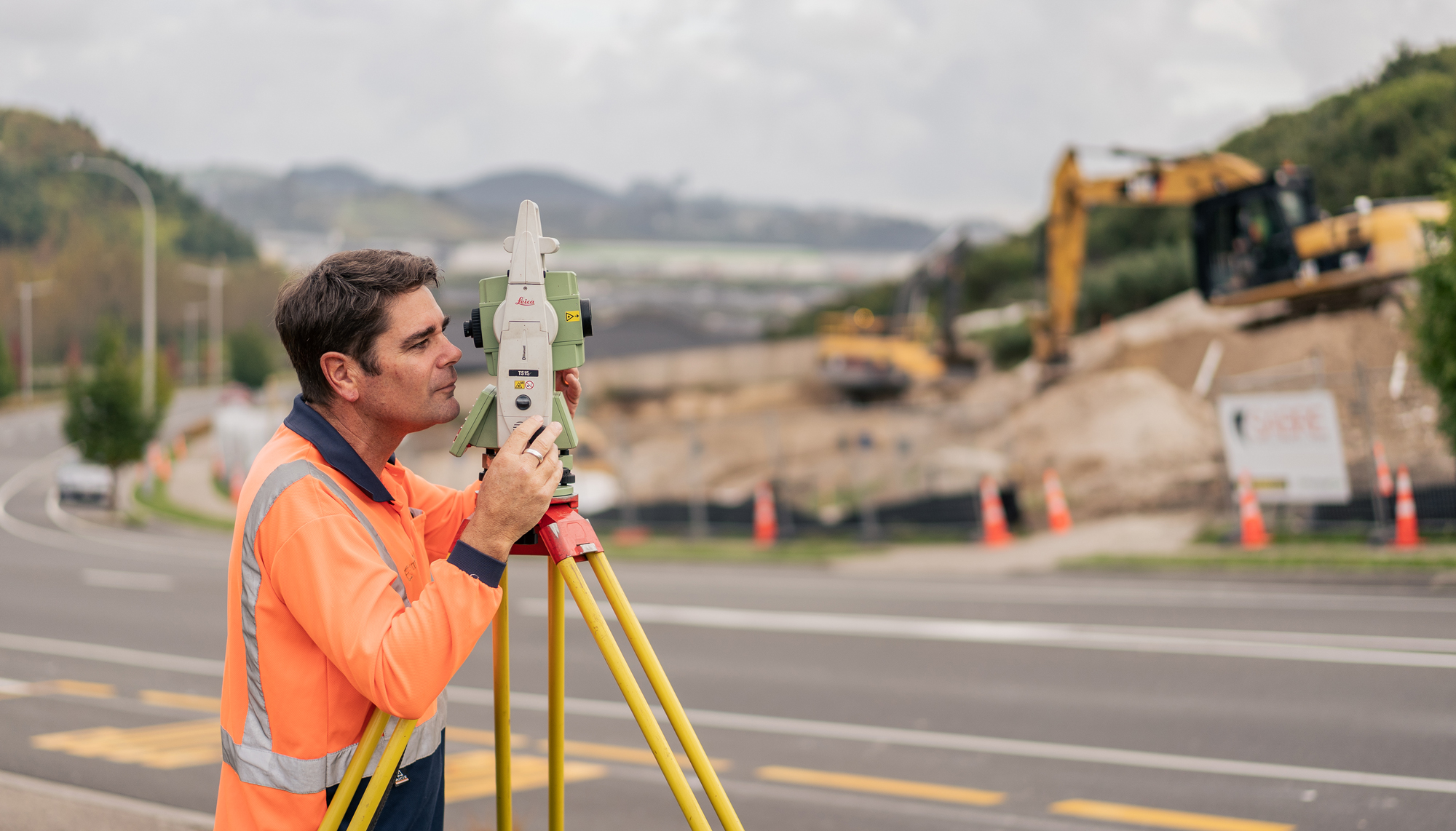
Vitruvius delivers surveying solutions that are tailored to your sector and the specific outcomes you’re after. We work with you to identify how survey data will be used and align our survey process to capture data that benefits the life of your asset, not just the life of your project. This ‘whole of life’ focus increases your long-term asset value and your return on investment.
We provide end-to-end survey services underpinned by digital technologies and use a range of software systems to quickly transform data and deliver relevant outputs. We also provide outputs that can be used in long-term asset management planning. Our services are underpinned by our significant experience in major project design and delivery.
Our expertise cover a wide range of survey environments including:
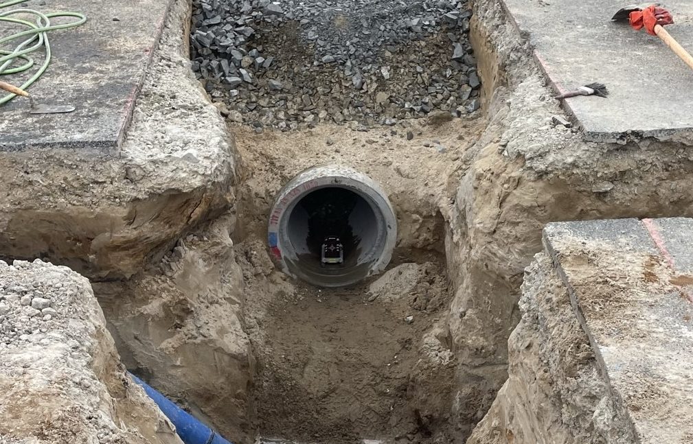
- Sub-surface utility engineering to detect, survey and model underground services
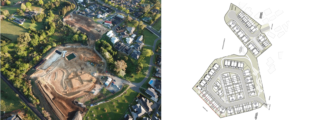
- Topographic survey
- Cadastral survey
- Geometric alignment and set out for rail and road
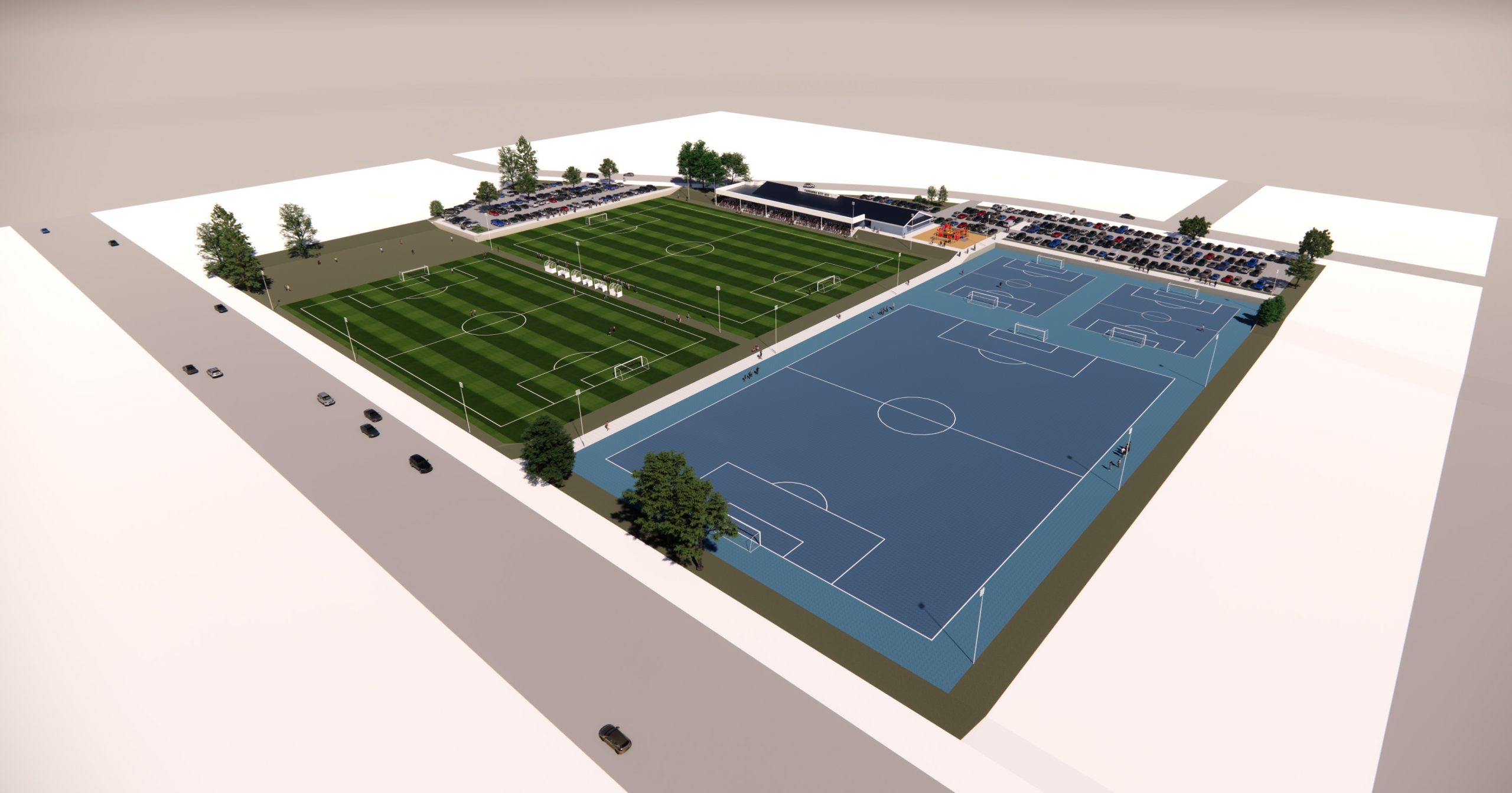
- Laser survey and scan to BIM for detailed design
- 3D modelling and clash detection
- Aerial topographic surveys


